First Pacific hurricane of 2026 sends giant swells to California
Back-to-back storms are churning in the Pacific Ocean, a telltale sign of this year’s El Niño.
Read more An Alabama mother killed herself to fulfill a ChatGPT prophecy, lawsuit alleges

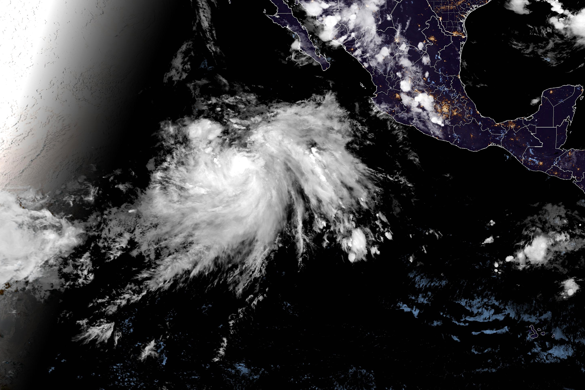
Tropical Storm Elida brought a quick heat wave with unusually muggy air to the Bay Area this week. Fausto, the first eastern Pacific hurricane of 2026, formed on Monday and should push big swells into the California coast as soon as Thursday and through the weekend. Yet another cyclone is taking shape south of Hawaii.
El Niño, which emerged in June, can intensify eastern Pacific hurricane activity. Fausto marks the sixth named storm of the season, a number that’s typically not reached until early August based on the 30-year average, according to the National Hurricane Center.
“In a strong El Niño year, history tells us you would expect to see more activity in the Pacific Ocean and maybe average or below-average activity in the Atlantic,” Brad Reinhart, a senior hurricane specialist for the National Hurricane Center in Miami, told SFGATE. “It looks like the storms may keep coming.”
Fausto, a Category 1 hurricane, spins over seas about 1,000 miles southwest of the southern tip of Baja, and forecasters expect it to move westward. At that distance, the main impacts forecast for California are big swells, especially on south- and southwest-facing beaches.
The biggest surf will likely be south of Point Conception, though the National Weather Service’s Bay Area office issued a warning for big waves and rip currents Saturday through Tuesday. Affected areas include the North Bay, San Francisco, Monterey Bay and the Big Sur coast.
For coastal areas in San Diego and Orange counties, there’s another National Weather Service warning for surf up to 7 feet, rip currents and possible coastal flooding Thursday through the weekend. A third beach hazards statement, alerting beachgoers of large breaking waves from 3 to 6 feet, is in effect for the Malibu coast and beaches in both Ventura and Los Angeles counties.
“A large surf like this with a lot of energy behind it that’s generated by a hurricane is going to leave a really strong rip and longshore current pretty much everywhere,” Chandler Price, a National Weather Service meteorologist in San Diego, told SFGATE. “And with the increased beach attendance expected this weekend with how hot it’s getting over here, we’re just asking people to be extra careful and check the forecast.”
Read more Trump admin cancellation of UC funding sends researchers into fury
A busy surf season is the primary impact on California of eastern Pacific hurricanes, since they typically make landfall farther south. Yet Hurricane Dolores brought heavy July rain and flooding to California in 2015, another El Niño year.
The latest outlook shows an 81% chance that this year’s El Niño, the warm phase of a pattern that develops in the tropical Pacific Ocean, will rank as “very strong” from October to December. During strong and very strong El Niño years, the number of named storms, hurricanes and major hurricane days in the eastern Pacific increases compared with the average since 1950, according to Jan Null, a private weather consultant with Golden Gate Weather Services. The opposite trend occurs in the Atlantic.

BECOME A FRIEND. GET OUR AD-FREE APP.
“We’re seeing warmer and warmer water in the eastern Pacific right now, and that’s part of what’s fueling this gravy train of hurricanes,” Josh Willis, a senior research scientist for NASA’s Jet Propulsion Laboratory, told SFGATE. He added, “Now, global warming is also causing the storms we do get to be more intense than in the past on average since the water is warmer, the air is warmer, so it can hold more moisture.”
During El Niño events, weak trade winds are associated with above-average surface temperatures along the equator in the Pacific Ocean. But this year, off the coast of California, there’s also an extreme marine heat wave that’s been simmering for months.
“I’m on pins and needles,” Daniel Rudnick, a physical oceanographer for Scripps tracking the heat wave in California with robotic underwater gliders, told SFGATE. “The question for the next few months is whether we will see the same increase here as we have in past El Niños. If we do, then it adds to what we already have, and it would be a very warm event.”
— Super rare tropical bird swoops over California. Experts fear a trend.
— New fault capable of massive earthquakes discovered in California
— Deadly parasite is flourishing in a California river
— NASA satellite spots El Niño driving higher seas toward California
Read more Nvidia CEO gives $75M to new San Francisco arts college
Sign up for daily SFGATE breaking news alerts here.