All eyes are on this new El Niño forecast for California
Anticipation is mounting in California as the El Niño winter looms.

El Niño now officially ranks as “very strong,” the most extreme category, according to an outlook the National Oceanic and Atmospheric Administration’s Climate Prediction Center published Thursday. The memo gives an 83% chance that El Niño will become “historic” by 2027, surpassing the strength of all events since 1950.
Read more Thousands of SF mail-in ballots damaged by machine before being sent out
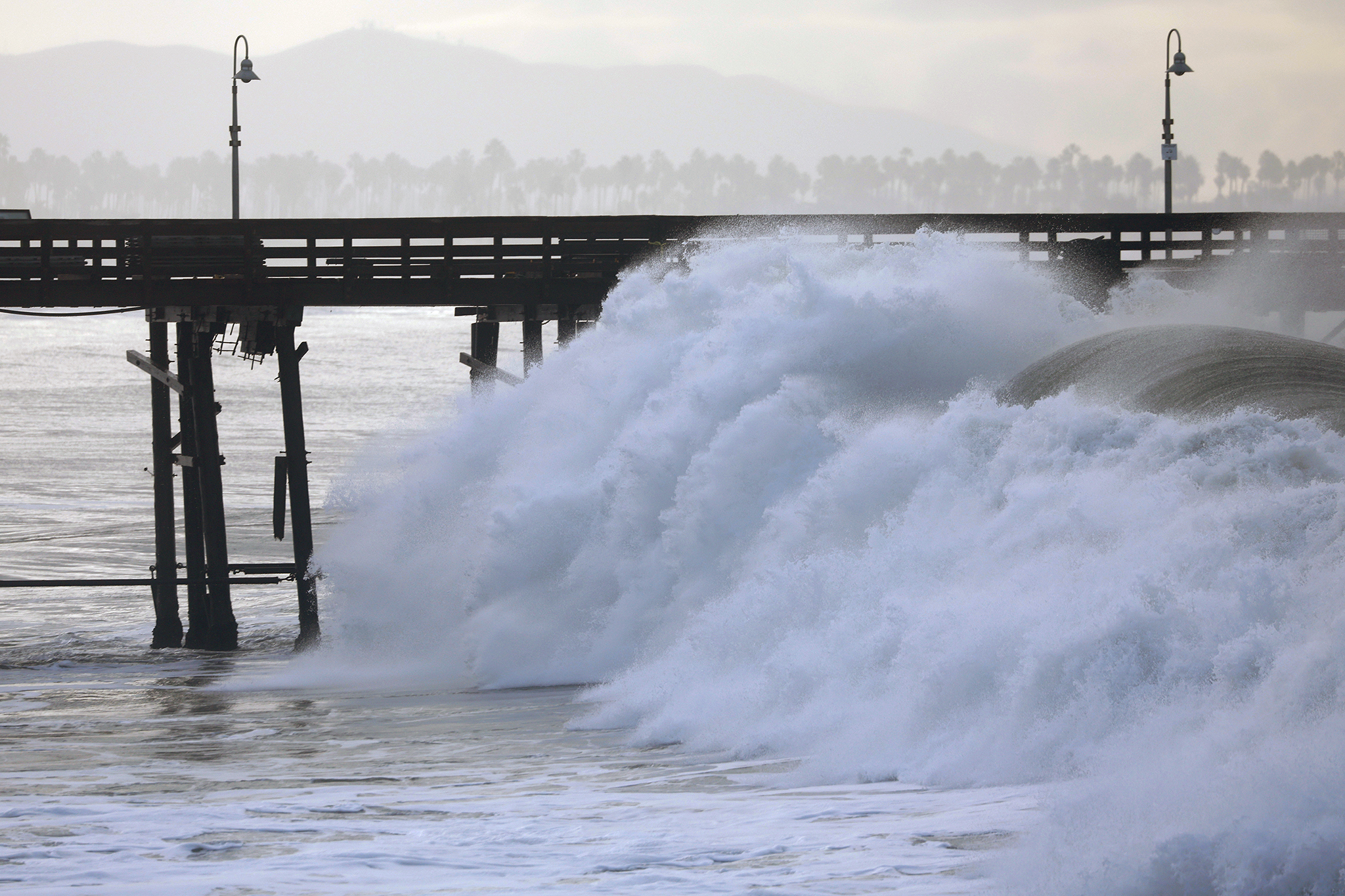
As forecasters gain confidence in the extraordinary power of this year’s El Niño, early signs like hurricane swells are already impacting California.
“It’s El Niño macho, as I call it,” Josh Willis, a senior research scientist for NASA’s Jet Propulsion Laboratory, told SFGATE. “This is a big event, it’s still growing in size, and its impact is just starting to reach out of the tropics.”
El Niño is the warm phase of a natural pattern that emerges in the central and eastern tropical Pacific. During El Niño conditions, weak winds are associated with above-average ocean surface temperatures. Year to year, this seasonal phenomenon alternates with an opposite phase, La Niña, and with neutral conditions.
The spike in the Pacific’s heat during El Niño years can drive winter weather in California and across the globe. Already, El Niño has supercharged the eastern Pacific hurricane season, devastating the Hawaiian Islands and pushing massive waves into Southern California. California oceanographers warn of unprecedented coastal flooding and erosion, while meteorologists forecast above-normal precipitation this winter across the state.
This year’s El Niño first emerged in June. By August, the Climate Prediction Center reported a greater than 90% chance that El Niño would rank as “very strong” this fall and winter. Since then, the heat in the Pacific has only continued to rise.
Thursday’s report shows that key temperatures in a designated area of the tropical Pacific have reached 2.1 degrees Celsius above normal, which just barely falls into NOAA’s “very strong” category of at least 2 degrees Celsius. Only a handful of El Niño events have met that threshold since 1950.
For reference, conditions in the winter of 1982 to 1983 were the strongest on record, hitting a peak near 2.5 degrees Celsius. NOAA’s most recent calculations show El Niño falling short of that all-time record so far, but it’s still strengthening. Versus the September outlook’s 75% chance that this El Niño would break strength records between October and December, the most recent report gives an up to 83% chance of that same outcome.
“There is a slight uptick from last month to this month, but not by much,” Michelle L’Heureux, a physical scientist for the Climate Prediction Center, wrote to SFGATE. “… The increase in confidence is because we are one month closer to the full 3-month ‘season’ we are predicting.”
Read more A Morgan Hill man told hospital staff he killed his wife. Now he’s charged with murder.
Alexander Gershunov, a research meteorologist at the Scripps Institution of Oceanography at UC San Diego, emphasized that this year’s very strong El Niño is also happening in a world altered by climate change. NOAA has adjusted its metrics to account for the warming ocean.
“Not only is it one of the strongest events ever observed since 1950, but it is occurring in a warmer world than all the previous ones,” Gershunov told SFGATE. “Let’s just see how it keeps evolving.”
California is already starting to mobilize. Gov. Gavin Newsom , directing state agencies to begin bracing communities now.
Already, sea levels recorded in San Francisco Bay have been running unusually high, National Weather Service meteorologist Dylan Flynn told SFGATE. Oceanographers have described that overlapping factors will continue raising ocean heights off California this winter. El Niño’s influence, including on Kelvin waves, will layer on top of the rise from climate change, the marine heat wave, storm surges and peak high tides.
“Every couple inches of sea level rise doubles the risk in California in terms of flooding, and those water levels, already riding pretty high, are going to get a lot higher in the coming months,” Patrick Barnard, who directs research at the Center for Coastal Climate Resilience at UC Santa Cruz, told SFGATE. “Everything’s lining up to be a very risky winter for sure.”
As far as rainfall in California, El Niño generally causes the jet stream over the Pacific to shift southward, raising the odds of a wetter season in Southern California. The Climate Prediction Center’s latest seasonal forecast favors above-normal amounts of precipitation across California this winter. The latest seasonal forecast from the European Centre for Medium-Range Weather Forecasts also shows extremely high confidence for a wet winter in California.
“There’s a 70 to 100% chance of a very wet winter across all of coastal California,” Daniel Swain, a climate scientist for the University of California’s Agriculture and Natural Resources group, said during an online briefing as he referenced the European model. “… This is an extraordinarily strong signal for California, and it is even stronger and even broader than it was just last month.”
— Calif. woman reported missing from work found alive after 100-foot fall
— SF home sells for $7M over asking, nearly double the list price
— All eyes are on this new El Niño forecast for California
— Teen killed in Bay Area hotel may be linked to FBI most wanted suspect
Read more Conservatives furious with Steve Hilton ad for promoting ‘lesbianism’
Sign up for SFGATE’s breaking news email