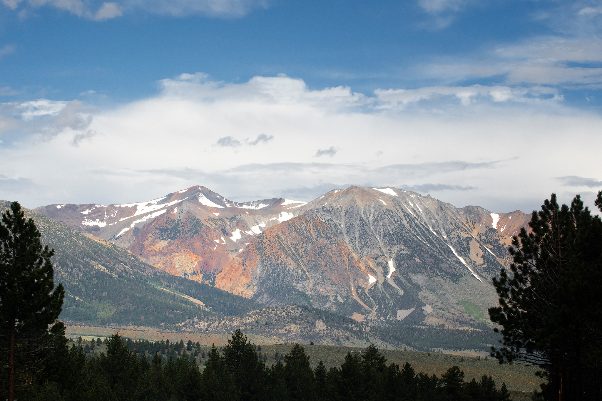
Storm to bring snow to high peaks in the Sierra Nevada
A storm moving through California this week is forecast to deliver snow to high peaks in the Sierra Nevada on Wednesday, with snow levels staying above 8,500 feet in elevation.
Read more A California man claimed ICE took his wife. He’s now charged with her murder.

Heather Richards, meteorologist for the National Weather Service in Reno, said snow was falling in the White Mountains in southern Mono County midday on Wednesday as the storm made its way across the Central Valley and up toward the Sierra Nevada. She expected precipitation to start later in the afternoon on Wednesday.
“I’ve got showers that are streaming northward through the Central Valley and starting to make their way into the Sierra,” Richards said. “It’s going to take a little more time before they start to fill in over the Sierra.”
As the storm creeps into the Sierra Nevada, elevation and location will play big roles in where the snow comes and how much. Mountains near Mammoth Lakes are expected to receive more snow than in Lake Tahoe. And more snow will likely accumulate at higher elevations.
The forecast says there’s a 70% chance that 2 inches of snow will accumulate at high elevations, with a slim chance for more than that. But the highest peaks in southern Mono County, near Mammoth Lakes, may see around 10 inches of snow this week.
“Anywhere along U.S. 395, you may see snow falling through the air, but accumulations are going to be really limited to the most elevated stretches of that road, and those totals will remain below an inch,” Richards said.
Caltrans announced on Tuesday that high mountain passes in the Sierra Nevada would temporarily close for the storm, including Ebbetts Pass, Sonora Pass and Monitor Pass. The National Park Service is also closing Tioga Pass in Yosemite National Park.
Read more Mike Evans injury update: Latest on 49ers star’s status after Week 6 exit
On Thursday, snow levels may lower to 7,000 feet in Mono County. But the colder temperatures come on the tail end of the storm, so the area may not see much snow accumulate on the ground. “It’s a bit of a timing issue,” Richards said.
The forecast is less exciting for the Tahoe Truckee region. Moisture is forecast to move through the Tahoe Basin on Wednesday and Thursday, favoring the west shore of Lake Tahoe. But the storm is expected to deliver rain for the most part.
Elevations above 7,500 feet may see some snow mixed with rain on Thursday. “But as far as accumulations, it’s just going to be a wet mess,” Richards said.
The storm clears out by Friday morning, making way for crisp and cool fall weather this weekend. “It’s going to be a little bit of a cooler weekend, but dry and light winds,” Richards said, adding that overnight lows may dip into the teens or single digits in the Sierra Nevada.
Looking even further out, another storm is on the horizon for the end of the month. “We are seeing hints of a more active storm pattern, mostly a wetter storm pattern, with average temperatures,” Richards said about the forecast next week.
— NorCal man who claimed ICE took his wife suspected of killing her
— After Calif. teen dies, parents faced with child endangerment charges
— Calif. city condemns release of serial rapist and Max Factor heir
— They killed people with their trucks. Calif. let them keep driving.
Read more Deebo Samuel injury update: Latest on 49ers WR’s status in Week 5 game
Sign up for SFGATE’s breaking news email